Computer vision project
Before you see the pothole, YOLO does.
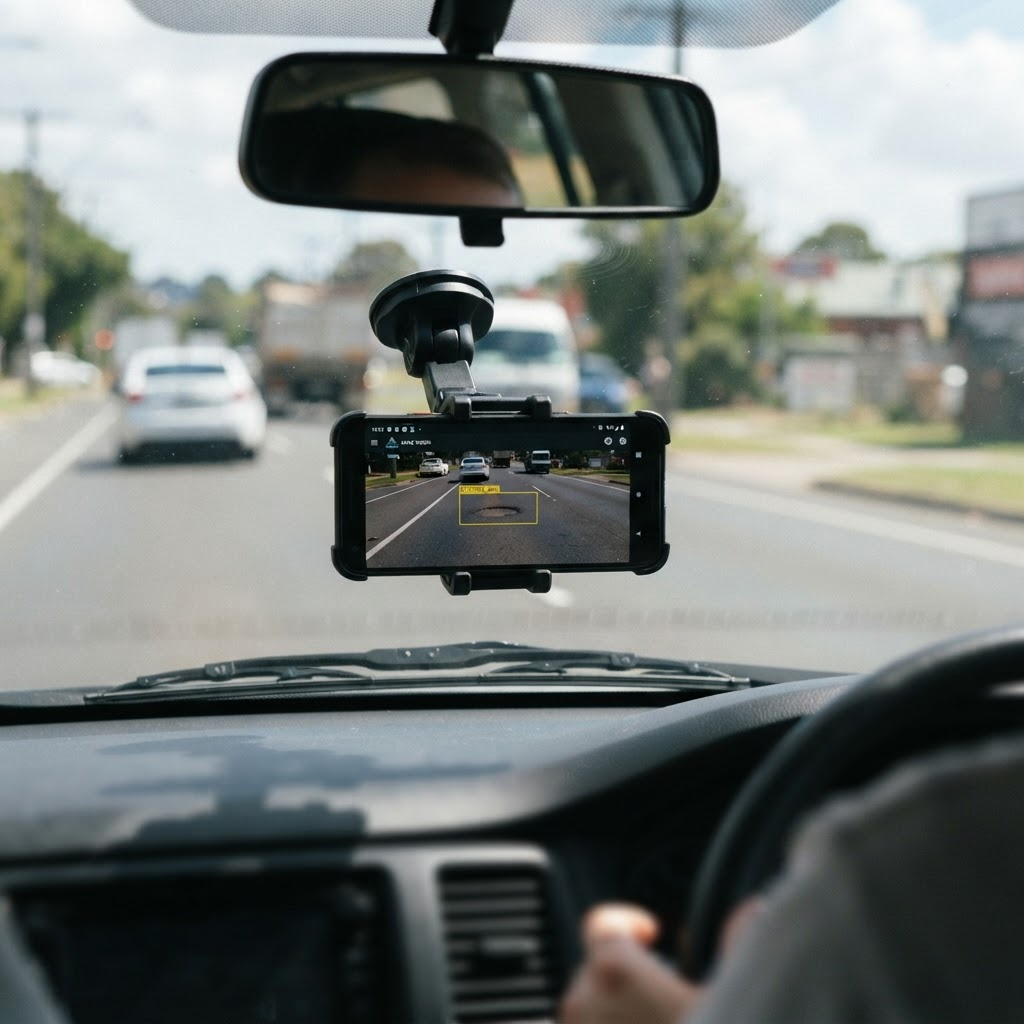
MapTheGap analyzes footage from a vehicle camera with a YOLOv11 deep learning model to detect potholes on the road in real time.
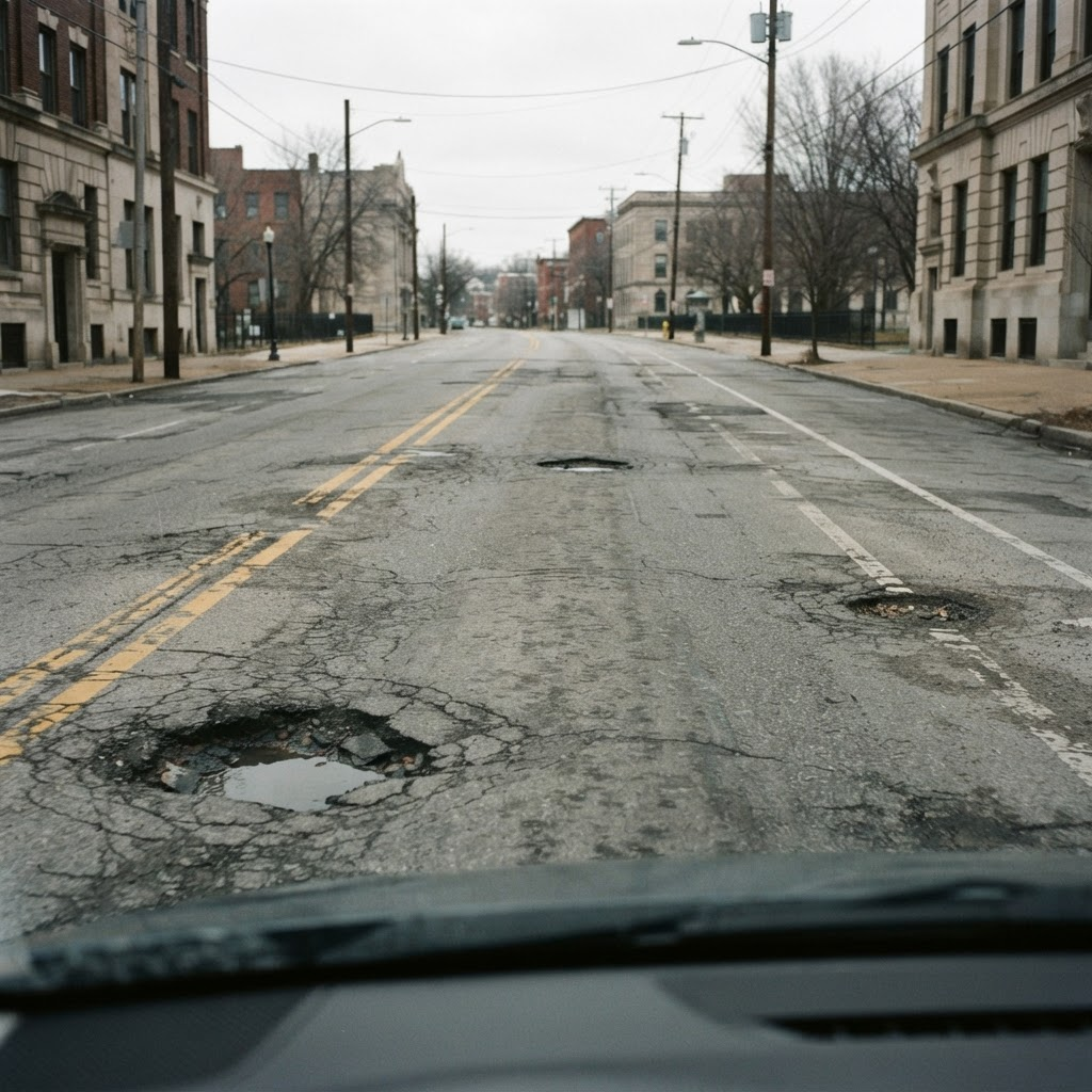
The MapTheGap system
A smarter way to understand every road.
MapTheGap is an AI-powered mobile road monitoring and driver assistance system that combines computer vision, motion sensors, and GPS to detect, analyze, and map potholes without dedicated hardware.
Vision analysis
YOLOv11 analyzes recent or periodic road images to detect potholes and estimate their size and severity.
No dedicated hardware
A smartphone camera or compatible vehicle camera turns every drive into a useful source of road data.
Living road map
GPS-tagged observations build an evolving map where reports are reinforced, updated, and filtered for quality.
Audio warnings
Drivers without a camera can still benefit from existing data and receive location-based warnings before hazards.
Instead of continuously processing or storing video, MapTheGap adapts its image analysis frequency to motion events and driving conditions. This reduces computational and battery overhead while keeping the road-condition network continuously updated as more vehicles contribute observations.
Our goal
Mapping broken roads before they cause accidents.
Potholes are often only noticed after a vehicle gets damaged. We want to reverse that: detect potholes automatically, warn drivers, and give local authorities the data they need.
Driver safety
Potholes cause sudden braking, lane changes and accidents. Early detection gives drivers time to react.
Less vehicle damage
A large share of tire, rim and suspension damage comes from poorly maintained roads.
Faster maintenance
With exact locations, municipalities can prioritize repairs and dispatch maintenance crews more efficiently.
How it works
From camera to map in four steps.
As a single-stage detector, YOLOv11 processes the whole image in one pass, returning both the pothole's location and a confidence score within milliseconds.
- 1
Image capture
A camera or phone mounted inside the vehicle records the road at dozens of frames per second.
- 2
Preprocessing
Frames are resized and normalized, balancing out differences in lighting and shadows.
- 3
YOLOv11 inference
Our YOLOv11 model, trained on a custom dataset, marks every pothole in each frame with a bounding box.
- 4
Location & reporting
Detected potholes are matched with GPS coordinates and logged so they can be reported to the authorities.
Technology
The tools we use.
We trained the model on pothole images that we collected and labeled ourselves. We chose YOLOv11 for its balance of speed and accuracy.
YOLOv11
Real-time object detection
Python
Training and inference pipeline
PyTorch
Deep learning framework
OpenCV
Image and video processing
Roboflow
Data labeling and augmentation
Google Colab
GPU-powered model training
Team
Five people, one goal.
We are a team of five Bilkent University students working together on every stage of the project, from data collection to field testing.
Muhammed Devran Yılmaz
devran.yilmaz@ug.bilkent.edu.trEylül İdil Yıldız
idilyildiz@ug.bilkent.edu.trEser Tekin Tekeli
tekin.tekeli@ug.bilkent.edu.trHikmet Şamil Karaş
samil.karas@ug.bilkent.edu.trMehmet Efe Mutlu
efe.mutlu@ug.bilkent.edu.tr